Related Maps
These historical maps may help to understand of the geography of the area around Mount Baldy and the Apache Forest.
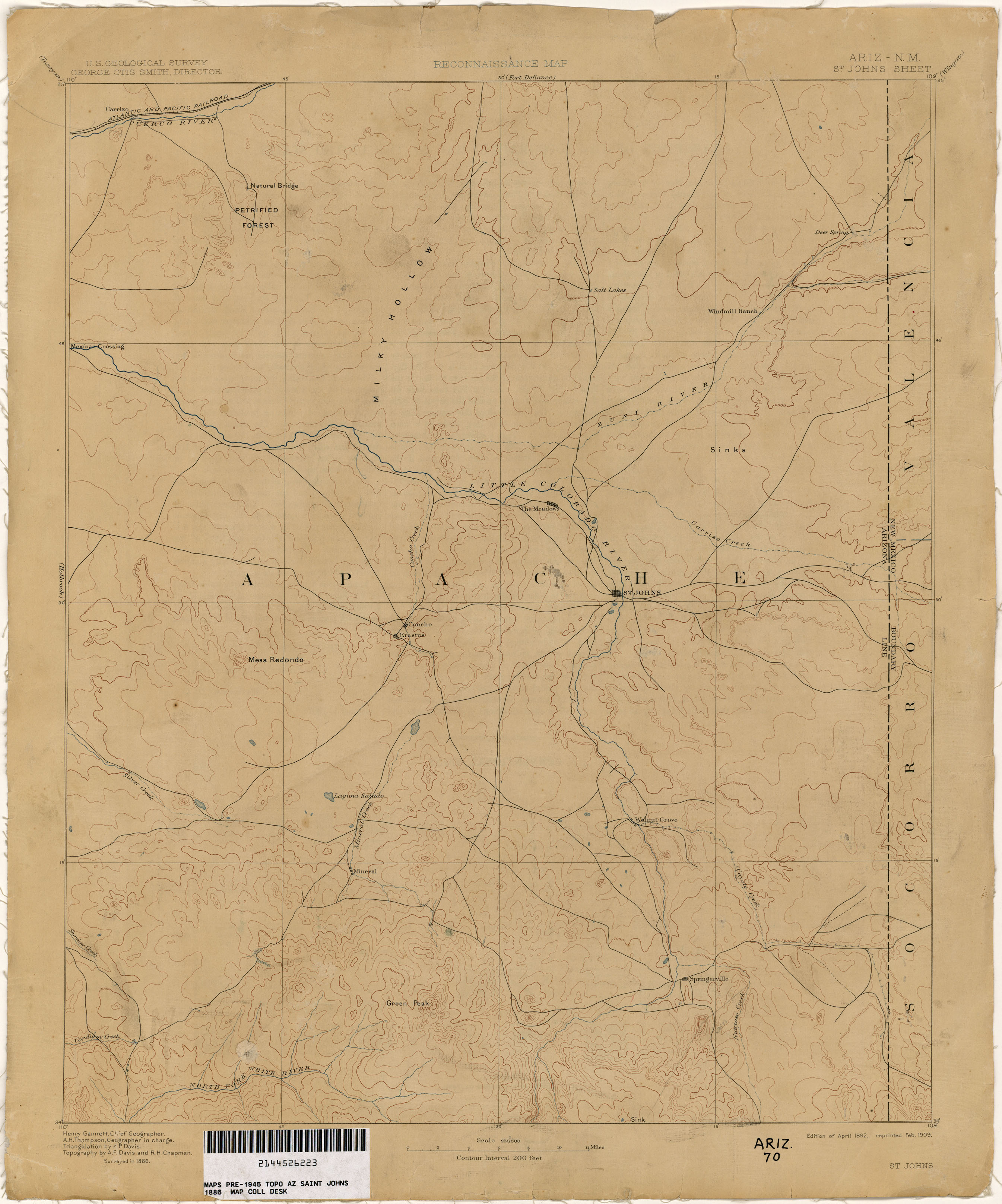
- 1886 St Johns Topo Map
- 1895 Arizona map
- 1895 Apache County map
- 1910 - 1950 Historical Maps of Arizona
- 1927 - 1970 Arizona Road Maps
- Sharlot Hall Museum Map Collection
Grand Canyon Maps from the Library of Congress. This is where Double Killer's hide was sold for $450 (as mentioned in chapter 10 of The Great Apache Forest).

Created/published: [S.l.], 1903-
Subjects: Arizona--Maps, Topographic, United States--Arizona, United States--Arizona--Grand Canyon Region.
Call Number: G4330 s48 .G4 TIL
Digital ID: (Grand Canyon) g4330m gnp00004

Created/published: [S.l., 1919]
Subjects: Grand Canyon National Park (Ariz.)--Maps., United States--Arizona--Grand Canyon National Park.
Call Number: G4332.G7 1919 .R3 TIL
Digital ID: g4332g np000099
hdl.loc.gov/loc.gmd/g4332g.np000099
Created/published: [S.l., 191-]
Subjects: Grand Canyon Region (Ariz.)--Maps., United States--Arizona--Grand Canyon Region.
Call Number: G4332.G7 191- .G4 TIL
Digital ID: g4332g np000097
